In every direction from Cody, WY, there is something spectacular. To the north is the Chief Joseph Scenic Byway, to the east, the Bighorn Pass which rises to more than 9000 feet, to the west is the East Portal of Yellowstone Park. We have ridden all three of these so the only direction left to go was south over South Pass on our way to Rock Springs, WY. And it was here that we rode through across the high plains through towns with names like Meeteetse, Thermopolis, Shoshoni, Riverton, and Lander before beginning our climb to the summit of South Pass at 7550 feet.


Open prairie south of Cody, WY
At a rest stop north of Thermopolis we met two couples from Fort MacMurray, AB. They were on their way home from Sturgis and had just ridden a mountain pass between Buffalo, WY, to Ten Sleeps, WY. They said it was a great ride and highly recommended. it. Perhaps sometime in the future. The rest area was set in some unique rock formations, so of course, I took some photos.


South of Thermopolis the highway entered the Wind River Canyon. At the north end of the canyon were the younger rocks of the Chugwater Formation that were formed more than 250 million years ago, and at the southern end the Precambrian granites were exposed. These rocks are more than 600 million years old. If you are paying attention you can see more than 350 million years of the Earth's history in the rocks that are exposed form one end of this canyon to the other. I find that an overwhelming thought and it brings in to stark relief the insignificance of our time on this planet. This canyon is probably the most beautiful I have seen with its swift flowing clear river. Opposite the highway, railway tracks cling to the edge of the river and climb from the south to Thermopolis.

Wind River Canyon, WY


Plaque explaining the geology of the Wind River Canyon
At the south end of the canyon the land opens up and a dam stores the water of the Wind River for power generation and irrigation in a large lake, the Boysen Reservoir, which is visible from the highway.

Boysen Reservoir with power dam


Boysen Reservoir
Many of the three hundred and fifty to four hundred thousand settlers who moved west from the early 1840s until the mid 1860s traversed these passes either to Oregon and California, or the Mormons who made their way to Utah.
Sometimes you get a glance of a scene that is beautiful and sticks in your mind for a long time. As we rode I glanced to my right over a small clear river below the highway. I was fortunate enough to see two antelope daintily picking their way across the rocky stream. This sight lasted no longer than five or six seconds but I found it incredibly beautiful.
Garry had taken the lead earlier so I was following about half a kilometre back when I saw what looked to be leaves blowing across the highway. Since there was no vegetation that produced leaves in the area I was somewhat curious. As I came closer and could see more clearly I saw that the 'leaves' was in fact a flock of about fifteen chukar, a small ground bird slightly larger than a quail, running across the highway. There was a larger bird, presumably the mother, with close to fifteen smaller birds scrambling across the highway. When I see things like this I am reminded of how fortunate I am to be able to travel to places that are totally unfamiliar to me, and to see sights that I would never see even close to my home in Campbell River.
Garry had taken the lead earlier so I was following about half a kilometre back when I saw what looked to be leaves blowing across the highway. Since there was no vegetation that produced leaves in the area I was somewhat curious. As I came closer and could see more clearly I saw that the 'leaves' was in fact a flock of about fifteen chukar, a small ground bird slightly larger than a quail, running across the highway. There was a larger bird, presumably the mother, with close to fifteen smaller birds scrambling across the highway. When I see things like this I am reminded of how fortunate I am to be able to travel to places that are totally unfamiliar to me, and to see sights that I would never see even close to my home in Campbell River.
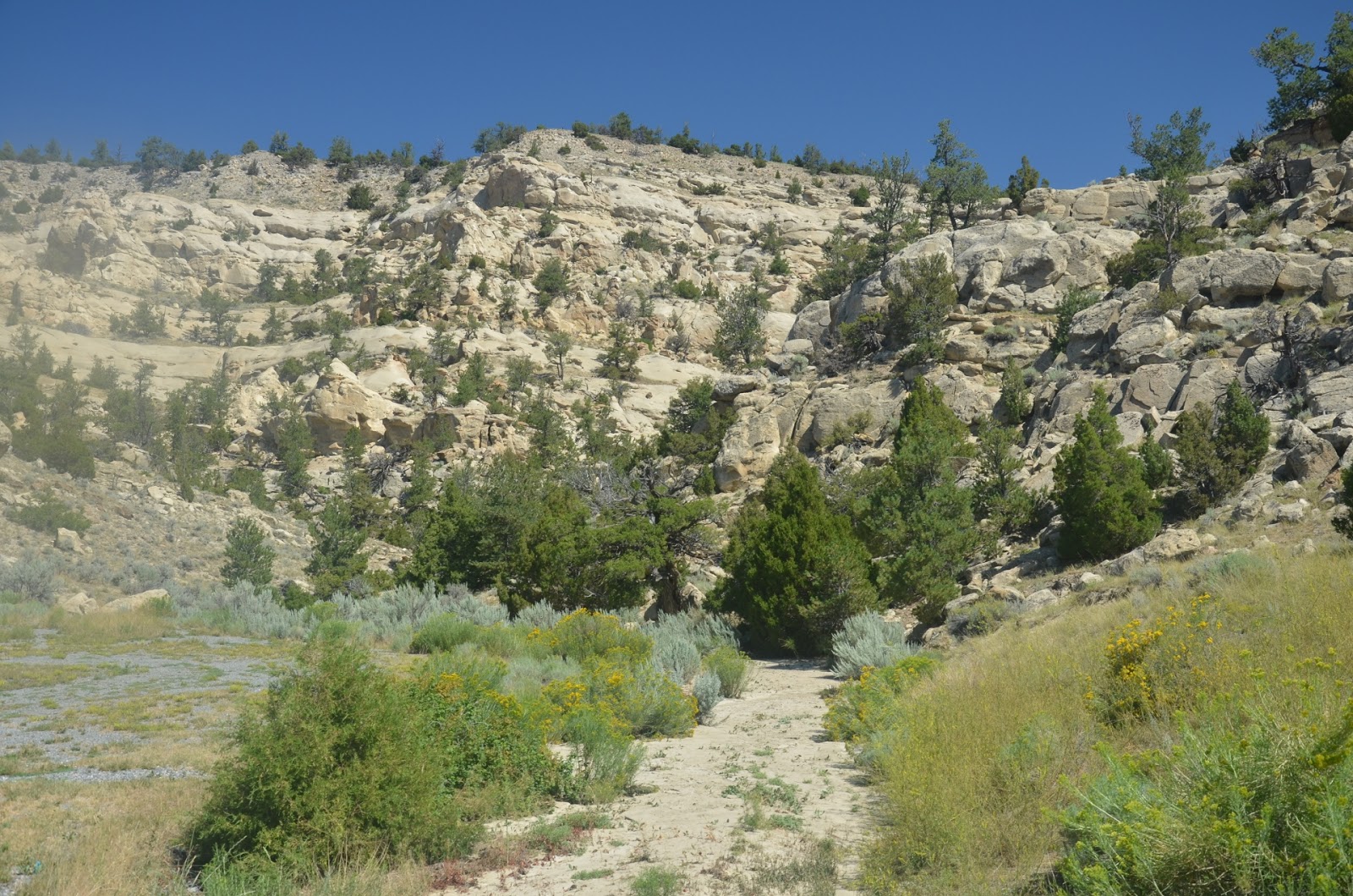
Along the way we came across the striking red rock formations that we have seen for the past two days. From the viewpoint we could see the old wagon road that ran along the face of the cliff. This area is an animal refuge and during the winter it is possible to see more than seven hundred elk wintering in the area.

Red rock cliff


Old wagon road along the face of the red cliff

Winter elk range

Plaque explaining how the area is used
The final run into Rock Springs went quickly on a straight and level highway through wide open prairie. Rock Springs is on the Union Pacific Railroad line from Logan, UT, to Cheyenne, WY. In the 1940s and 1950s the largest locomotives ever built, the Union Pacific Big Boys were run through Rocks Springs. It must have been awe inspiring to see and hear these monsters as they charged up the long grades trailing more than one hundred freight cars in their wakes.
Today was a riding day with few stops except to view exceptional scenery and we really didn't meet anyone on the ride. tomorrow we will ride west on I-80 through Salt Lake City, across the Great Salt Desert, past the Bonneville Salt Flats to the Utah border.
No comments:
Post a Comment